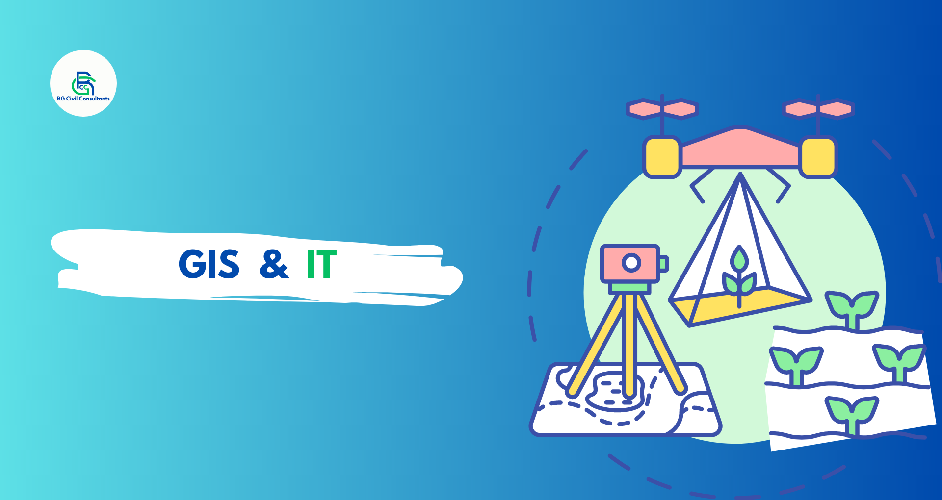
WIth advancement of Space technology, Remote Sensing & GIS applications have increased in recent times. Applications of GIS ranges from Land Surveying, Forest Management, Site Supervision, Agricultural Fields/ Crop Management, Water Resources and Flood Management, Urban Area Planning etc.
We offer wide ranging Geospatial consultancy services for both govt and private projects. We have state-of-art instruments and engineers skilled in softwares like ArcGIS, QGIS, DHI MIKE Urban, DHI MIKE Flood, ERDAS IMAGINE, EPA SWMM, Bentley WATERGEMS, LISFLOOD etc. to name a few.
Services
- Creation of Thematic Maps from Satellite Imageries.
- Integration of GIS and MIS Data
- Development of WebGIS platform
- Development of Decision Support Systems
- Watershed Analysis and Catchment Area Mapping
- Flood Modelling and Flood Zonation Mapping
- Urban Flood Modeling and Mitigation Strategy Planning
- Hydrological Assessment using GIS
- Crop Quality Assessment and Cropping Analysis
- Urban Governance through GIS portals
- GIS Mapping of Cadastral Maps/Revenue Maps
- Land Use Planning using HRSI, ETS and DGPS
- Construction Activity Monitoring and Assessment using HRSI
- Web based SCADA System Development
- Environmental Monitoring and Assessment using HRSI